
Sun Prairie ZIP Coverage
Official sources identify two ZIP codes with Sun Prairie as the preferred city name, but their roles differ. The normal street-delivery area is broader than the compact city. The second code is classified as unique, and the research did not identify its current delivery entity or polygon. That gap should remain visible rather than being filled from a commercial map.
| ZIP | Area Role | Post Office Label | Research Note |
|---|---|---|---|
| 53590 | Sun Prairie street delivery and land beyond the compact city | Sun Prairie preferred city | Shown on the official Dane County ZIP map |
| 53596 | Unique ZIP, not verified as a conventional residential delivery area | Sun Prairie preferred city | Current institution and delivery polygon remain unconfirmed |
This ZIP code directory uses the 2021 Dane County ZIP map and the Wisconsin DHS ZIP classification list as dated sources. Postal assignments may change. Use USPS for a live address result, then use Access Dane for jurisdiction. Do not assume that all records bearing 53590 describe city residents, or that 53596 represents a normal neighborhood.
53590 and Sun Prairie Records
The official Dane County ZIP map shows 53590 centered on Sun Prairie and spreading beyond the city's compact boundary. A Sun Prairie postal label can therefore appear on a parcel governed by a surrounding town. That matters for deeds, assessment records, permits, elections, and records requests because the custodian follows jurisdiction, not the name printed after the street.
Search Access Dane with the municipality field as well as the street. Preserve “Sun Prairie” as the postal city while separately recording City of Sun Prairie, Town of Sun Prairie, or another municipality shown by the official parcel system. Boundary agreements involving Madison, Burke, DeForest, Bristol, and Windsor add more reason to check a current map.
Note: A 53590 result narrows postal geography but does not establish city jurisdiction, parcel ownership, or current residence.
Sun Prairie's Unique ZIP
The Wisconsin ZIP and city classification list marks 53596 with class U, meaning unique, and names Sun Prairie as the preferred city. A unique ZIP is normally assigned for a special delivery use rather than a broad street-delivery zone. The official research did not establish the institution, entities, street inventory, or exact current polygon served by 53596.
This is a useful limit, not a blank to guess through. Verify any 53596 address in USPS and read the returned standardized address. Next compare it with Access Dane's parcel and municipality fields. If the goal is a records request, send it to the government body that holds the record rather than choosing an office from ZIP alone.
Geography check. Treat 53596 as a verified unique classification, not as proof of a Sun Prairie residential neighborhood.
USPS Fields for Sun Prairie ZIPs
The USPS ZIP Code Lookup has three useful modes. By Address standardizes one location. By City and State returns ZIP information for a place label. Cities by ZIP returns the recognized city names for a code. USPS also warns that a standardized result does not prove that a person or company is at the address.
| Lookup Mode | Field | Required | Use |
|---|---|---|---|
| By Address | Company | No | Optional delivery-name field |
| By Address | Street address | Yes | Full delivery line |
| By Address | Apartment or suite | No | Unit detail |
| By Address | City and state | Yes | Postal locality and Wisconsin |
| By Address | ZIP | No | Known code for comparison |
| Cities by ZIP | ZIP | Yes | Preferred and accepted city labels |
Open the official USPS lookup to check its live modes and fields.
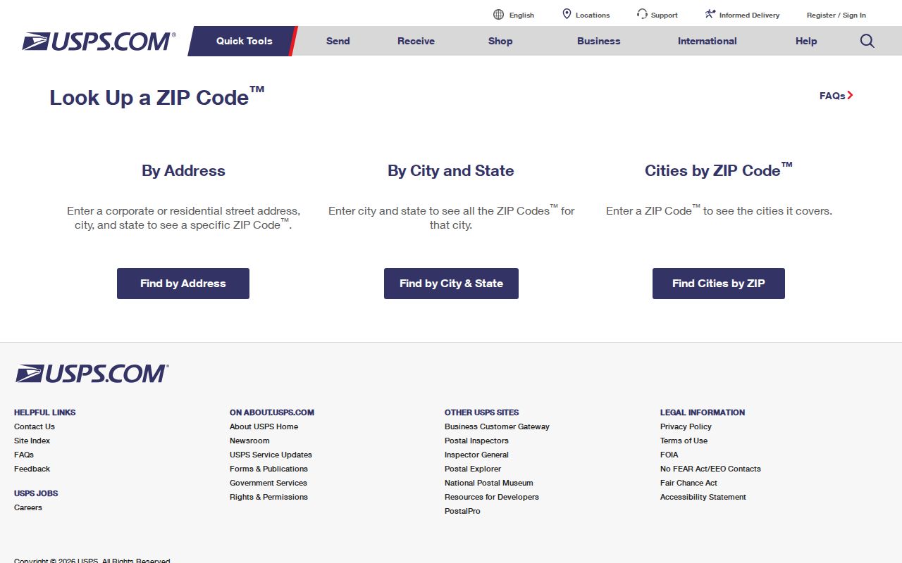
The captured form shows the correct starting point for normalization without exposing a private household result.
Find Sun Prairie Records by ZIP
A ZIP code directory works best as a funnel. USPS settles the mailing format, the county parcel system identifies a municipality, and the map shows geographic context. Only then should a name or record search begin.
- Enter the whole address in USPS, including unit information, and save the standardized city, state, and ZIP.
- Search Access Dane by street and municipality. Keep the parcel/PIN and situs field separate from billing.
- Compare the parcel with the city GIS or county ZIP map. Note each map's publication date.
- Use the correct custodian for the next record, such as city permits, county deeds, or an official election tool.
- When the goal narrows to a named road, use the Sun Prairie street directory for the street-level chain.
MyVote also accepts a street, unit, city, and ZIP for election and polling information. It is not a public list of residents by ZIP code. A name search asks a voter for first name, last name, and date of birth to reach their own registration record.
Sun Prairie Parcel ZIP Checks
Access Dane has no verified stand-alone ZIP-wide resident filter in the research capture. Its address search uses house number, prefix direction, street name, street type, and municipality. Its owner fields are last or business name, first name, middle name, and municipality. Parcel, PLSS, and plat or certified-survey-map searches provide other ways to narrow geography.
| Parcel Field | Why It Matters |
|---|---|
| Municipality | Separates the legal jurisdiction from the postal city. |
| Primary or situs address | Identifies the mapped parcel location. |
| Billing or mailing address | Shows where tax mail goes, not who occupies the parcel. |
| PIN | Gives the stable parcel identifier used across records. |
| Legal description | Links land to a plat, lot, or older deed chain. |
A ZIP-wide list made from parcel billing fields would mix owners, agents, and other recipients. Keep each field's role intact. Use the official map to test geography rather than inferring it from a mailing line.
Sun Prairie ZIP Versus City
Postal routes are designed to deliver mail. Municipal lines define which government provides many services and keeps local records. The two systems can overlap without matching. The Sun Prairie Comprehensive Plan carries boundary and land-use maps, while Access Dane exposes parcel municipality. Together they answer a different question than USPS.
The distinction also changes over time. Annexation and cooperative-plan work can move a parcel into a different municipality without requiring the postal code to follow at once. The cited city street map dates to November 2016, and the cited county ZIP map dates to 2021. Mark both as historical snapshots when newer official layers disagree.
- ZIP
- A five-digit Postal Service code for mail routing.
- ZIP+4
- The basic code plus four digits that narrow a delivery segment.
- Unique ZIP
- A code assigned for a special delivery use rather than a normal broad area.
- Carrier route
- A mail-delivery path that may cross other mapped boundaries.
- Municipality
- The city, village, or town government with legal jurisdiction over a parcel.
Sun Prairie ZIP Neighborhood Labels
Local names such as Angel Park, Bird Street East, Cannery Square, Downtown, Fox Point, Hunters Creek, Patrick Marsh, Prairie Lakes, Royal Oaks, West Prairie, and Westwind appear in a city community-survey appendix. They are useful orientation labels, but they are not a verified private association directory and do not define ZIP lines.
One neighborhood can share a ZIP with many others, and a ZIP can include land outside the incorporated city. When a directory record uses a neighborhood name, keep the map or survey source beside it. Do not turn a community label into a claim about a private household. Prairie Map may help place a parcel, but its live layers can change.
Note: Neighborhood, postal city, ZIP code, and municipality describe different geographic layers and should remain separate in every result.
Normalize a Sun Prairie Address
Small differences can hide the right parcel. A directional prefix, street type, unit, or accepted postal city may alter a search. Save the text exactly as USPS returns it, then compare it with the county situs address rather than overwriting either source.
- Keep the house number and directional prefix or suffix.
- Spell the street name and type as each official source displays them.
- Record apartment or suite information only where appropriate.
- Store postal city and governing municipality in different fields.
- Keep 53590 or 53596 with the date and official source.
- Save the parcel/PIN when Access Dane finds a match.
When old records are involved, modern postal data may not help. Sun Prairie's village had no street and building number system before 1950. Historical research may require a person's name, plat, tax book, route, or legal description instead of a current number.
Limits of Sun Prairie ZIP Lookup
A ZIP code directory cannot identify every resident, prove occupancy, or define a city boundary. USPS validates delivery formatting, not a person's presence. Access Dane shows public property relationships, not a household roster. MyVote's address route returns election information, not names at a home.
Use official records for a lawful personal purpose. Avoid publishing protected addresses, dates of birth, or a reconstructed household. If an address belongs to a participant in Wisconsin Safe at Home or a confidential elector, the substitute-address and redaction rules take priority over convenience.
Boundary rule. Never label a person a Sun Prairie resident from a ZIP alone; confirm the dated record, jurisdiction, and what it actually proves.