
Trace a Sun Prairie Street
A sound street-by-street search starts with the parcel, not a claim about who lives inside. Access Dane connects an address to a parcel identification number, legal description, owner record, tax facts, and recorded document links. Prairie Map then places that parcel among the lots around it. The deed index can extend the owner trail, while permits and dated directories add context. Keep a note of the date shown by each source.
The Sun Prairie street directory process is strongest when the same street spelling and municipality work in more than one source. A postal place name can reach beyond city limits, and a billing address may point somewhere other than the parcel. Follow these steps without merging those separate facts:
- Enter the house number, street parts, and municipality in Access Dane. Save the parcel number and legal description.
- Open the parcel in Prairie Map. Check its shape, nearby lots, and neighborhood layer rather than assuming that the postal ZIP marks the city line.
- Use the recorded-document list to reach the Dane County Register of Deeds index. Read the newest deed before stepping back to its grantor.
- Check a city permit by location, or ask the proper city custodian for a date-bounded file when the portal does not expose it.
- For a past household, use telephone books, tax books, plats, and dated archive records. MyVote address search is for polling and ballot facts, not a resident list.
Search Sun Prairie by Address
Access Dane offers several ways to reach the same parcel. Its help uses contained-in matching, so a partial value can help when a suffix or spelling is uncertain. The address route is best for a street directory, while a parcel number is the cleanest bridge to deeds, taxes, and map layers.
| Search route | Fields available | Best street use |
|---|---|---|
| Address | House number, prefix direction, street name, street type, municipality | Find one site or scan a shared street name |
| Owner | Last or business name, first, middle, municipality | Confirm which parcel a named owner holds |
| Parcel | Parcel identification number | Return to an exact lot after the first search |
| PLSS | Municipality, township, range, section, quarter, quarter-quarter | Work with rural or older land descriptions |
| Plat or CSM | Type, name, CSM number, block, lot, outlot, building, unit | Resolve subdivision and unit records |
A result may show the parcel number, owner, primary address, billing address, assessment, tax data, acres, class, legal description, districts, and recorded documents. None of those fields names every occupant. Save the source date and label each item as an owner, mailing, parcel, or tax fact.
The captured Access Dane search screen shows how the owner and address paths are kept apart.
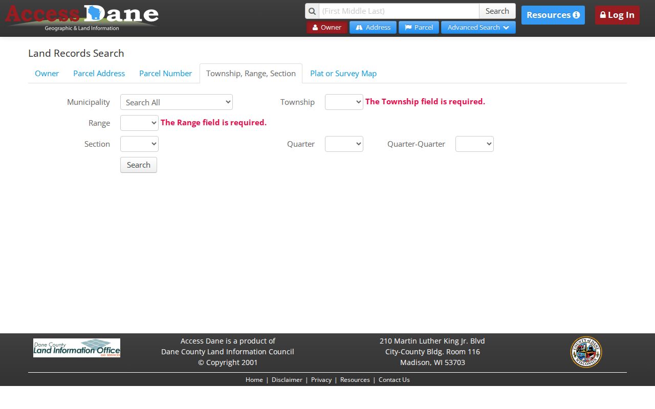
That split helps prevent a billing address from being read as the location of the land.
For more detail on a city parcel, the Sun Prairie assessing office also points to Assessor Data. Enter an address, select the property, and use the detail or full-report view.
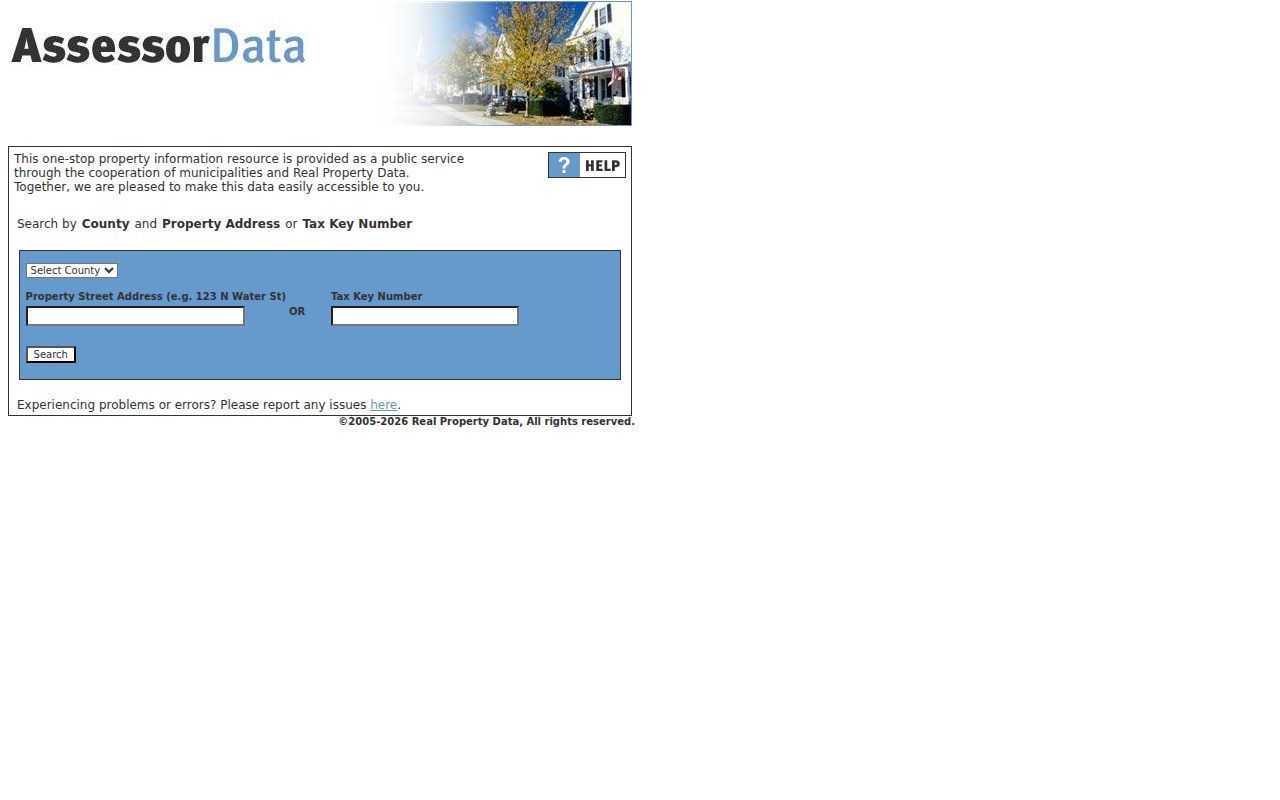
The detailed report can add building data, a sketch, permits, and sales to the county parcel record.
Sun Prairie Parcel Terms
Several short terms recur in a Sun Prairie address search. Define them before comparing records, since a map label, mailing field, and deed description serve different purposes.
- Parcel
- A mapped tract with its own county identification number and tax record.
- Situs address
- The physical or primary address assigned to the parcel, which does not name all people at the site.
- Plat
- A recorded map that divides land into lots, blocks, streets, and other features.
- Criss-cross directory
- A directory arranged by address or street rather than only by a person's name.
Access Dane also separates primary or situs data from billing or mailing data. A mailing field may lead to an owner, agent, lender, or another delivery point. Report the relationship shown, not an inferred household.
Map Sun Prairie Street Parcels
Prairie Map supports a visual pass after the county search. Zoom to a parcel, click it, and inspect parcel or neighborhood data. The city GIS layer visibly includes property street number, property street name, and billing street address. The full field inventory was not confirmed, so use the live labels rather than assuming that every county field appears on the map.
For a whole block, begin at one verified parcel and move lot by lot. Record parcel boundaries and legal descriptions. Shared driveways, vacant land, condominium units, and a mailing address elsewhere can make two nearby map shapes mean very different things. A map pin is a lead, not proof of a household.
If Prairie Map is unavailable, call the Sun Prairie GIS office at 608-825-1170 or use Access Dane parcel mapping. The city also publishes a November 2016 street map, but its date matters and it cannot establish when any house number was assigned.
Sun Prairie Street Record Coverage
No source covers every link between land and people. The by-street method places narrow records side by side. Online tools provide the current parcel and much of the modern deed trail. City custodians handle permits and planning files. SPHLM and other archives carry older address evidence.
| Record Set | Keeper | What It Shows | Access |
|---|---|---|---|
| Assessment and tax | Access Dane and City Assessor | Owner, situs and billing fields, value, class, tax, legal description | Free online; City Hall or phone |
| Parcel map | Sun Prairie GIS | Lot shapes, street context, parcel and neighborhood data | Prairie Map, GIS office, Access Dane |
| Deeds and plats | Dane County Register of Deeds | Grantors, grantees, recording facts, legal descriptions | Online from January 1975; counter, mail, staff for gaps |
| Permits and planning | Building Inspection and Planning | Public permit, applicant, project, or development records where open | ViewpointCloud, City Hall, portal request, email |
| Historical address sources | SPHLM, WHS, public library | Telephone listings, plats, tax books, maps, photos, dated community links | Catalogs, databases, appointment, research request |
MyVote's address mode is not an occupant lookup. It supplies polling place, ballot, and election information. Its name mode is meant for a voter to view their own registration with first name, last name, and date of birth. Older election activity may require a lawful request through the Wisconsin Elections Commission or municipal clerk.
Deeds Along Sun Prairie Streets
Access Dane's recorded-document list can supply the document number needed at the Register of Deeds. The county online index begins in January 1975 and is still being back-indexed. TapestryEON serves occasional users, while Laredo Anywhere is designed for title firms and carries account or support charges. Index coverage and image coverage are not the same.
Read the newest deed's grantor, grantee, parcel ID, legal description, recording date, document number, and transfer terms. Then search the grantor as the prior grantee. Repeat only while the legal description stays tied to the same land. Before the online cutoff, ask Register staff or use abstracts, tax books, plats, and WHS sources.
The Dane County online-record page explains the index cutoff and links its search systems.
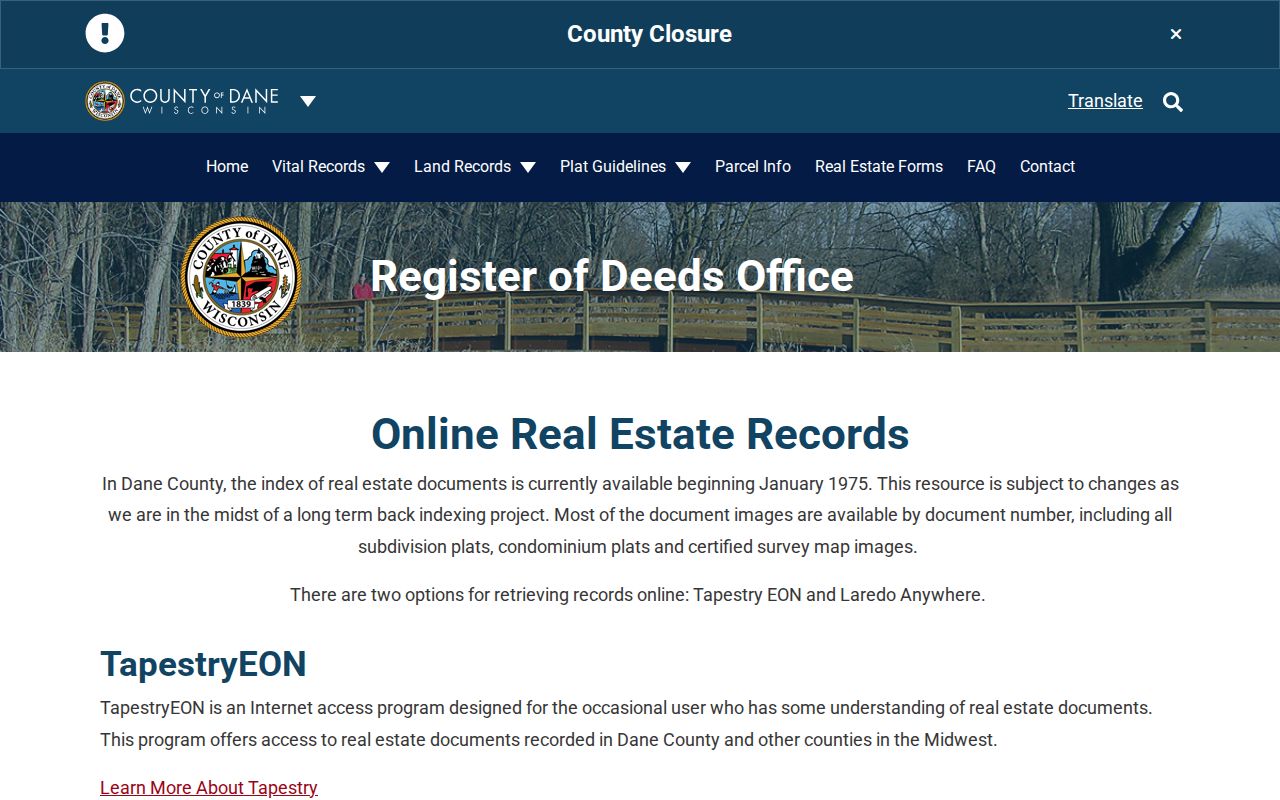
The screen is a starting point for a deed chain, not a current roll of people on the street.
Sun Prairie Permits by Location
The city's OpenGov and ViewpointCloud workflow lets users search active permit records through Locations. Access to a permit tied to an account may require the account email and applicant email to match. Public status does not mean that each field will be open, and the city's current-project map is not a list of issued building permits.
When no useful online hit appears, direct a narrow request to Building Inspection at 608-825-1184 or the named city custodian. Include the address, parcel number, type of record, and a date range. Ask for electronic delivery when available. Planning applications use planning@cityofsunprairie.com, while citywide requests can be filed and tracked through the records portal.
Sun Prairie Streets Before 1950
The historical street directory has a sharp local limit: SPHLM says the village lacked a street and building number system before 1950. A modern number searched in an old telephone book may fail even when the family or building is well documented. No complete official street-name or number crosswalk was found.
Start with today's parcel number and legal description. Work back through deeds to a plat, farm, or quarter-section description. Then search SPHLM's village tax books, which cover 1868 through 1949 and are described as complete though not all indexed. Its local plat maps span the 1860s to 2008, and the incomplete Dane County plat-book run spans 1873 to 2001. Names of nearby owners, a school, church, route, or business can bridge the gap.
The 1899 Wisconsin Historical Society and 1905 Library of Congress Sanborn maps show footprints, uses, building materials, and street context. They do not name every occupant. Pair them with a dated phone listing, newspaper, tax book, or directory entry.
Separate Sun Prairie Address Fields
Save the primary or situs address and the billing or mailing address as two fields. Compare both with a deed return address and any open permit applicant field. If the values differ, state only that the records show different relationships. Do not collapse them into a claim that the owner resides at either place.
ZIP and municipal labels also diverge. ZIP 53590 extends beyond the compact Sun Prairie city boundary, while 53596 is classified as a unique Sun Prairie ZIP. Access Dane's municipality filter and parcel map can test jurisdiction. USPS can standardize a mailing address, but its own lookup result does not confirm that a person or firm is at that address.
Archive a Sun Prairie Block
SPHLM telephone directories cover the 1920s through 2007, though the early years are weak. Selected Sun Prairie years also appear on an external Milwaukee Public Library shelf list. These dated books can tie a listed name to an address or phone number, but they are not a complete annual city directory run.
For the collections themselves, use the Sun Prairie city directory shelf overview. Street research should keep the focus on one address or block: photograph the volume title and year, copy the abbreviation key, record the exact entry, and then compare it with tax, deed, or map evidence from the same period.
Limits of Sun Prairie Street Records
A property roll identifies an owner relationship, not all residents. A primary address identifies a parcel. Billing data may point elsewhere. Permits describe a public transaction, and historical books show a dated listing. Driver records, library patron records, protected elector addresses, victim details, and other confidential data are not street directory substitutes.
Wisconsin's Safe at Home program gives eligible survivors a legal substitute address and mail forwarding. Court redaction, confidential-elector rules, and other limits can also remove or mask locations. A missing result may therefore reflect privacy law, an access gap, a move, or a change in the street itself.
Use address records with care. Keep Sun Prairie street research personal and lawful. Never use an address trail to stalk, harass, intimidate, or expose a protected person.
When an archive or portal is unclear, contact the custodian and ask what the record means. A careful address search preserves the date, jurisdiction, keeper, and access limit beside every fact. That small record log also makes later checks much easier.